The role of surface displacement in landscape evolution
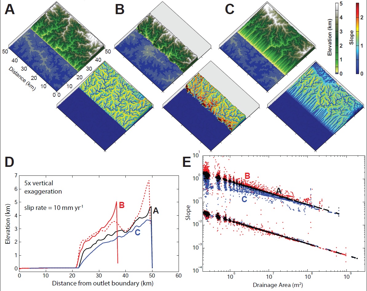
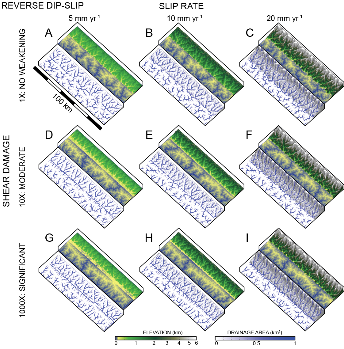
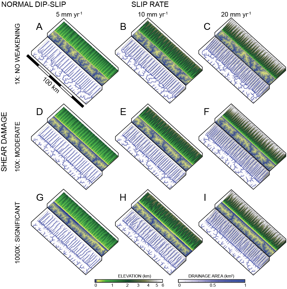
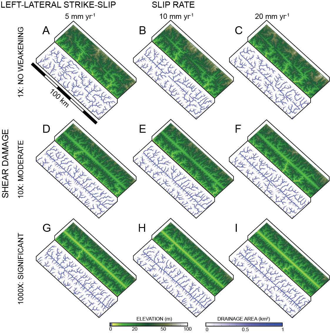
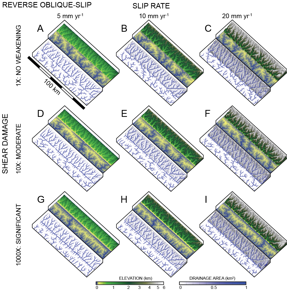
The objective of this project is to study the effects of 3D fault slip on landscape evolution. Specifically, there can be implications for the steepness of rivers and the evolution of drainage network patterns when considering the full 3D solution for fault slip. Our method is to apply kinematic conditions to points on a model landscape surface, representing tectonic motion, and allow for surface processes to erode the surface. Additionally we include rock damage associated with shear strain as an influence on rock erodibility surrounding the fault.
Images and models produced by Sam Roy
