Difference between revisions of "Geodynamics Course Projects"
| Line 10: | Line 10: | ||
[[File:AK_CA_cohesion.png|800px]] | [[File:AK_CA_cohesion.png|800px]] | ||
| − | Seen here is a an estimate of glacial erosion based on the velocity-driven erosion model of [https://doi.org/10.3189/S0022143000012429 | + | Seen here is a an estimate of glacial erosion based on the velocity-driven erosion model of Humphrey and Raymond ([https://doi.org/10.3189/S0022143000012429 1994)] at all time steps since 115.5 thousand years before present. |
[[File:Erosion_lgm.gif|800px]] | [[File:Erosion_lgm.gif|800px]] | ||
Seen here is the same model applied to a modern velocity dataset which uses a finer resolution. | Seen here is the same model applied to a modern velocity dataset which uses a finer resolution. | ||
[[File:Erosion_modern.gif|800px]] | [[File:Erosion_modern.gif|800px]] | ||
Revision as of 21:21, 18 April 2018
Past Geodynamics Course Projects
2018 Geodynamics Course Projects
Modeling Glacial erosion using ice velocity and rock strength in Coastal Alaska
Will Kochtitzky and Ian Nesbitt
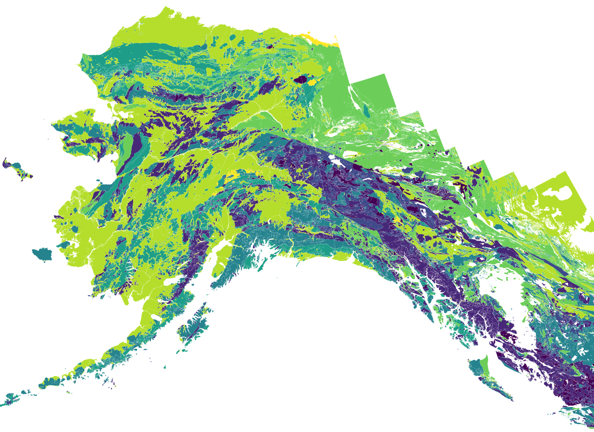
This project uses a very basic, very generalized, "fudge factored" rock cohesion classification (shown below) to estimate erosion in coastal Alaska at present and throughout the last 110,000 years. Modeled velocity and ice extent data provided graciously by Annie Boucher.
Seen here is a an estimate of glacial erosion based on the velocity-driven erosion model of Humphrey and Raymond (1994) at all time steps since 115.5 thousand years before present.

Seen here is the same model applied to a modern velocity dataset which uses a finer resolution.

